1.1 Background and Methods
1.1.3 Manual Image Geotagging: Tutorial
As mentioned in the introduction video, adding and editing metadata to image files can be done via commercial, freeware and open source tools. Geosetter provides one of the best workflows for geotagging images, but it also allows users to add and edit administrative, descriptive, copyright as well as technical metadata.
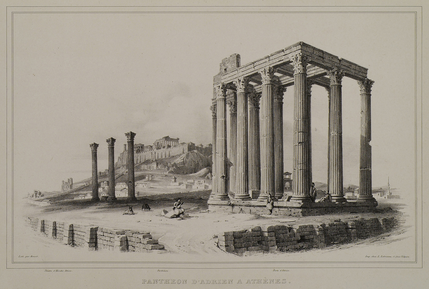
To learn how to geotag an image file in Geosetter, you are going to work with the digital image from one of Stackelberg’s works created during his travels in Greece between 1810-13 (Fig. 2). Navigate to the directory of the Images_copy folder and select Stackelberg subfolder. The file should appear in the upper left window of the interface. Double-click on the first image entitled The Temple of Olympian Zeus in Athens and then click on the tabs Location and Source Description. Notice that the fields are empty.
Figure 2. Black & white lithograph of the temple of Olympian Zeus, Athens from Stackelberg's "La Grèce. Vues Pitttoresques et Topographiques."
 |
To assign location information from the map to the image file, you will need first to find the location of the depicted place/monument. Login to Geonames web service and search for Temple of Olympian Zeus Athens and the service should return one record with five fields (see Fig. 3).
Figure 3. Returned search results from Geonames web service.
Click on S symbol which represents a feature class to switch to map view. Copy the coordinates in the decimal format, return to Geosetter and fill in the field coordinates (in the map window) with the values in the appropriate format. Now the map should be focused on the area of interest. Click on Add/Edit. On the opened window click on the Get from Web. Notice the fields that have automatically updated. Now you can write the name of this location. Click ok and notice that a favourite place has been added to the map (see star symbol, Fig. 4). On the left, make sure that the image file you want to edit is selected, click on the star symbol on the map window and then choose Assign position to selected images. Notice to the left that the selected image has been assigned with location information (e.g. coordinates, area name and country). Now click save to embed information in the image file itself. Double-click the image and go to Location tab. Notice the added geolocation information.
Figure 4. The geotagged archival image highlighted on the left of the Geosetter interface.

